
TL;DR
Beautiful camping, incredibly peaceful, only an hour and a half from Denver, CO.


Campsite
I stayed at site #28 out of 40 total. Forest Road 119 continues for about a mile from the picnic area. After a semi-steep, semi-sketch hill, dispersed camping begins in designated areas.

I stayed here for 3 days, 2 nights. Behind my campsite flowed a stream. I can’t describe in words how perfect it was.
Here are some map links:
- 2020 South Platte Ranger District Motor Vehicle Map
- All Pike-San Isabel National Forests Motor Vehicle Maps page
Other Thoughts
I didn’t realize how much I needed some peace and quiet. It’s been a crazy couple weeks packing all of my stuff up from my apartment.
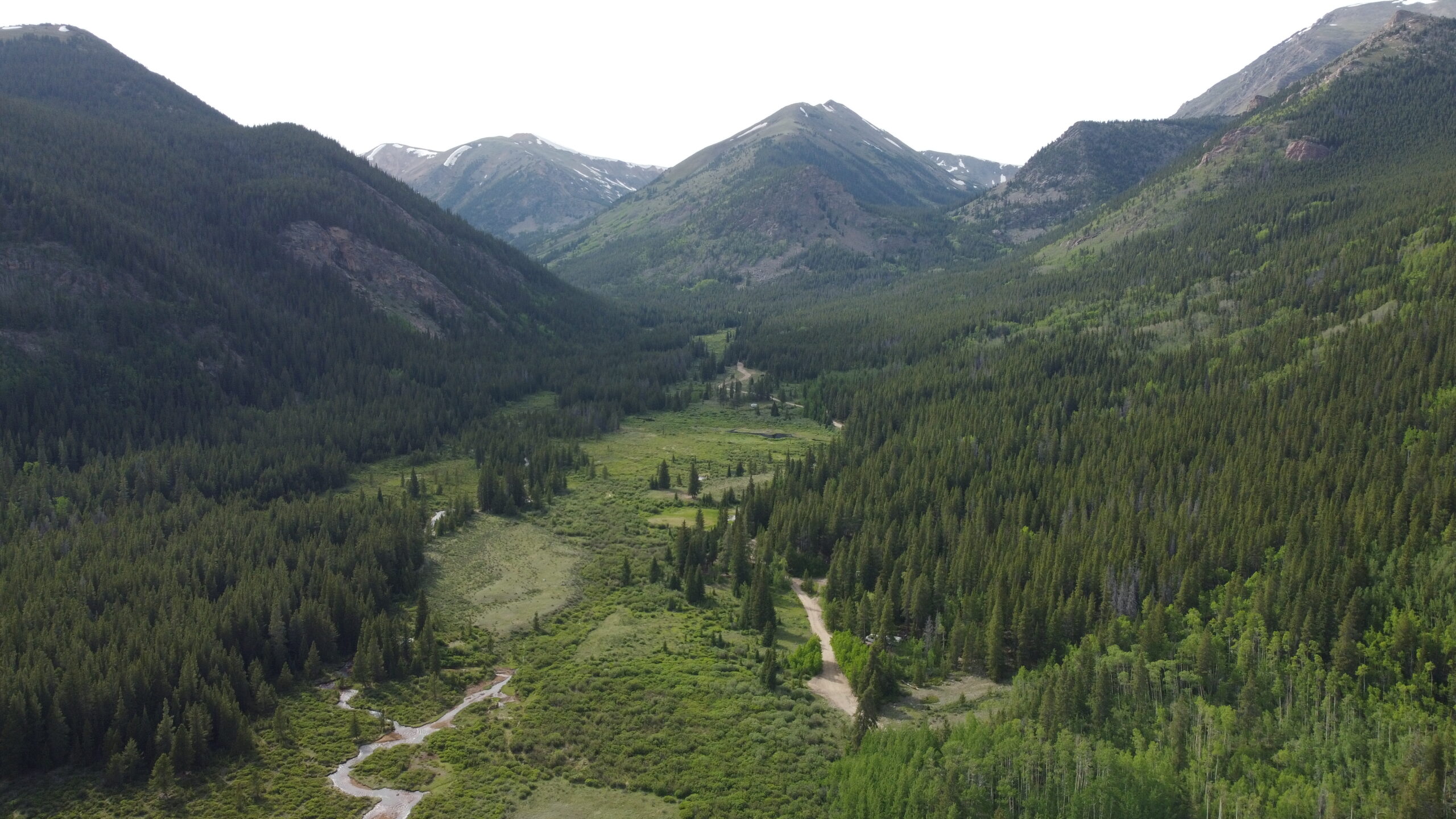
I also got some reeeeally cool drone shots that are my newly-added desktop backgrounds 😅 like this one:

Photos like these get me excited to get out there and capture more.
What’s Next
Check out my live travel map for where I was before this and where I went next.